
Length 225 km | Country United States of America | |
 | ||
Sources Middle Valley Prong, North Valley Prong | ||
San saba river ranch 2 545 acre texas river property for sale findaranch com
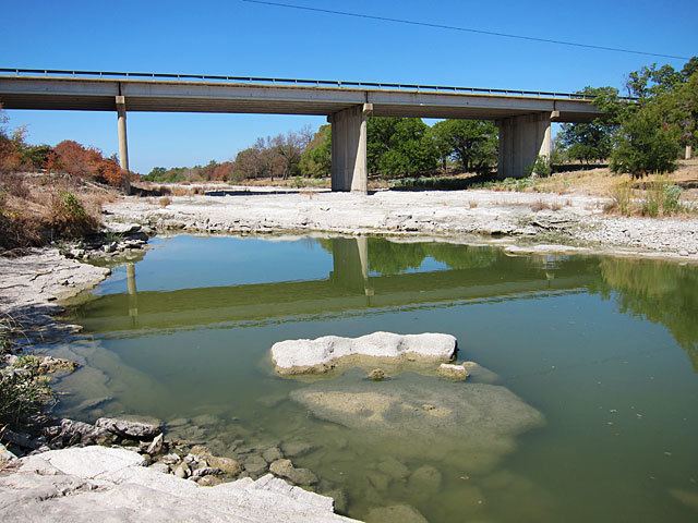
The San Saba River (San Sabá) is a river in the U.S. state of Texas. It is an undeveloped and scenic waterway located on the northern boundary of the Edwards Plateau.
Contents
- San saba river ranch 2 545 acre texas river property for sale findaranch com
- Map of San Saba River Texas USA
- Tkftv episode 1 winter fishing the san saba river with old town sportsman canoe
- CourseEdit
- HistoryEdit
- ManagementEdit
- References
Map of San Saba River, Texas, USA
Tkftv episode 1 winter fishing the san saba river with old town sportsman canoe
CourseEdit
The river begins in two primary branches. The North Valley Prong runs east through Schleicher County for 37 miles, while the Middle Valley Prong runs 35 miles through the same county.
Both merge near Fort McKavett to form the San Saba River, which flows another 140 miles east/northeast until it drains into the Colorado River east of the city of San Saba.
A major tributary is Brady Creek, which is 90 miles long and parallels the path of the San Saba to the north.
HistoryEdit
The river was named by the governor of Spanish Texas, Juan Antonio Bustillo y Ceballos, in 1732. He called it Río de San Sabá de las Nueces, because he and his troops had arrived on the feast day of St. Sabbas, a 6th-century monk.
Santa Cruz de San Sabá Mission was established on the river in 1757.
ManagementEdit
As of 2013, the San Saba River was an overappropriated stream with large stretches of the river dry, depriving downstream riparian users of water, while upstream flow was being diminished by pumping of aquifers hydrologically connected to the stream.