
Country United States Time zone Mountain (MST) (UTC-7) Local time Monday 9:37 PM | Elevation 2,172 ft (662 m) Area code(s) 520 | |
 | ||
Weather 24°C, Wind S at 8 km/h, 24% Humidity | ||
San Rafael, is a populated place located in Pima County in the state of Arizona, just north of the border with Mexico. It has an estimated elevation of 2,172 feet (662 m) above sea level.
Contents
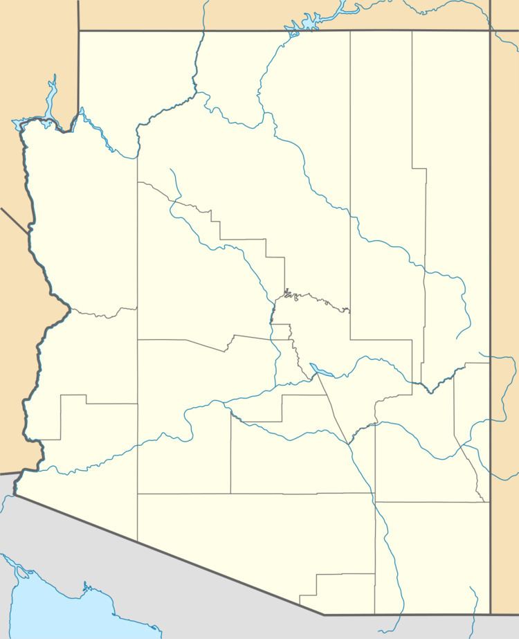
Map of San Rafael, Arizona 85634, USA
HistoryEdit
On November 24, 1865, San Rafael, then a ranching community, was the site of a raid, by a large Sonoran force of about 350 Opata volunteers under the command of Col. Refugio Tanori, an Opata leader commissioned in the Mexican Imperial Army, that left an American citizen wounded. It was believed to be an attempt to capture Sonora Governor Ignacio Pesquiera, who had fled the advance of Franch troops, taking refuge in Arizona Territory.
References
San Rafael, Arizona Wikipedia(Text) CC BY-SA