
Country Guatemala Municipality San Pedro Carchá Lowest elevation 600 m (2,000 ft) Area 1,082 km² Local time Monday 9:31 PM | Highest elevation 2,100 m (6,900 ft) Climate Cfb Elevation 1,282 m Team Deportivo Carchá | |
 | ||
Weather 14°C, Wind E at 3 km/h, 89% Humidity | ||
San Pedro Carchá, usually referred to as Carchá, is a municipality in the Guatemalan department of Alta Verapaz. It is situated at 1282 m above sea level. It has an estimated population 245,000 people. It covers a terrain of 1082 km².
Contents
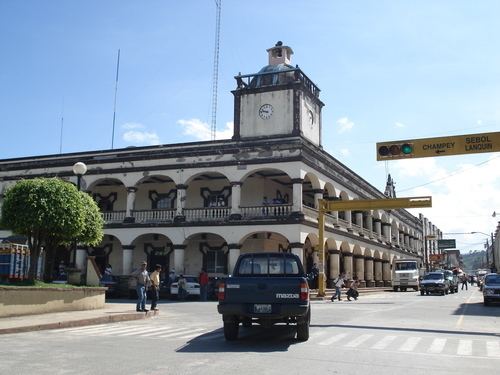
- Map of San Pedro CarchC3A1 Guatemala
- Sports
- Franja Transversal del Norte
- Climate
- Geographic location
- References
Map of San Pedro Carch%C3%A1, Guatemala
Sports
Deportivo Carchá football club play their home games in the Estadio Juan Ramon Ponce Guay. They have played in Guatemala's top division from 1998-2001.
Franja Transversal del Norte
The Northern Transversal Strip was officially created during the government of General Carlos Arana Osorio in 1970, by Legislative Decree 60-70, for agricultural development. The decree literally said: "It is of public interest and national emergency, the establishment of Agrarian Development Zones in the area included within the municipalities: San Ana Huista, San Antonio Huista, Nentón, Jacaltenango, San Mateo Ixtatán, and Santa Cruz Barillas in Huehuetenango; Chajul and San Miguel Uspantán in Quiché; Cobán, Chisec, San Pedro Carchá, Lanquín, Senahú, Cahabón and Chahal, in Alta Verapaz and the entire department of Izabal."
Climate
San Pedro Carchá has a warm and temperate climate (Köppen: Cfb).
Geographic location
San Pedro Carchá is completely surrounded by Alta Verapaz department municipalities: