
Demonym(s) Sanmauresi Area 86.89 km² Dialling code 0835 | Elevation 540 m (1,770 ft) Time zone CET (UTC+1) Local time Tuesday 3:04 AM Postal code 75010 | |
 | ||
Weather 9°C, Wind W at 3 km/h, 85% Humidity | ||
I campanacci di san mauro forte 2017
San Mauro Forte is a town and comune in the province of Matera, in the Southern Italian region of Basilicata.
Contents
- I campanacci di san mauro forte 2017
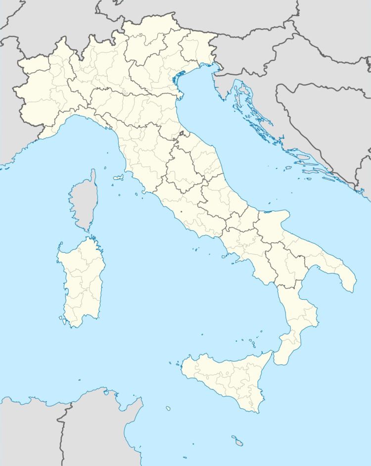
- Map of 75010 San Mauro Forte Province of Matera Italy
- San mauro forte nevicata 2017
- Geography
- History
- References
Map of 75010 San Mauro Forte, Province of Matera, Italy
San mauro forte nevicata 2017
Geography
The little town is on a hill, 540 metres (1,770 ft) above sea level, in the west central part of the province. To the north are the communes of Salandra (14 km / 9 miles), Oliveto Lucano (15 km / 9 miles) and Garaguso (17 km / 11 miles). To the east is Ferrandina (31 km / 20 miles) with Craco (25 km / 15 miles) e Stigliano (31 km / 20 miles) to the south. Accettura is (14 km / 9 miles) to the south. The provincial capital, Matera is 70 km / 44 miles away, while the administrative capital of the adjacent province, Potenza, is 66 km / 41 miles away.
San Mauro Forte is included in the administrative grouping of Upland Communes of the Matera Hills
History
The place was established in the sixth century. It was probably part of Magna Graecia.