
Elevation 1,585 m (5,200 ft) Time zone Central Time (UTC-6) Local time Monday 7:07 PM | Department Sololá Lowest elevation 1,562 m (5,125 ft) Country calling code 502 Area code 502 | |
 | ||
Weather 19°C, Wind E at 6 km/h, 78% Humidity | ||
Harvest festival in san marcos la laguna guatemala s4e11
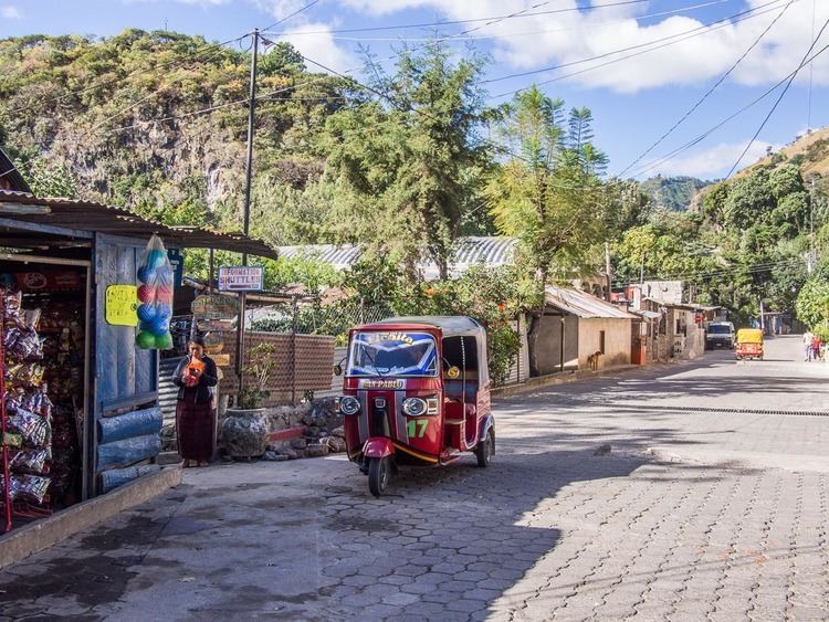
San Marcos La Laguna is a village on the western shore of Lago Atitlán in the Sololá Department of Guatemala. The village is northwest of three volcanos Volcán San Pedro, Volcán Tolimán, and Volcán Atitlán. The village has an outdoor amphitheater and a few hostels. San Marcos connects to other lakeside communities by boat and a narrow road. The nearest city is Panajachel at the northern side of Lago Atitlán. The town sits at an elevation of 1,585 metres (5,200 ft); the lowest elevation is the lake shore at 1,562 metres (5,125 ft).
Contents
- Harvest festival in san marcos la laguna guatemala s4e11
- Map of San Marcos La Laguna Guatemala
- San pedro la laguna volcano san marcos la laguna cliff jumping
- References
Map of San Marcos La Laguna, Guatemala
It is a small village of 2200 inhabitants; the majority of the population are Kaqchikel-speaking indigenous Mayans.
San pedro la laguna volcano san marcos la laguna cliff jumping
References
San Marcos La Laguna Wikipedia(Text) CC BY-SA