
Topo map USGS Hayward Country United States of America | Elevation 314 m | |
 | ||
District Alameda County, California | ||
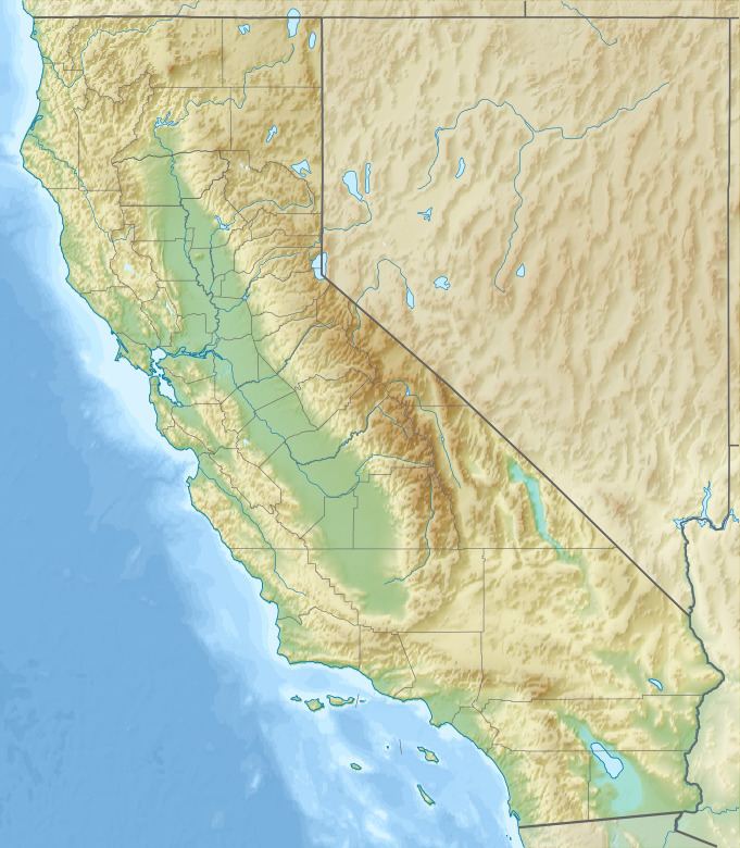
The San Leandro Hills are a low mountain range of the Southern Inner California Coast Ranges System, located on the eastern side of the San Francisco Bay. Geologically, they are a southern continuation of the Berkeley Hills on the north.
Map of San Leandro Hills, California 94552, USA
They run along the southeastern city limits of Oakland, extending southeastward above the city of San Leandro and the unincorporated community of Castro Valley.
San Leandro Creek drains the canyon along the eastern slope of the hills.
References
San Leandro Hills Wikipedia(Text) CC BY-SA