
Country United States of America | Elevation 1,392 m | |
 | ||
Similar San Ysidro Mountains, Volcan Mountains, Lake Morena Drive, Lake Morena County P, Whale Peak | ||
The San Felipe Hills are a low mountain range in eastern San Diego County, southern California.
Contents
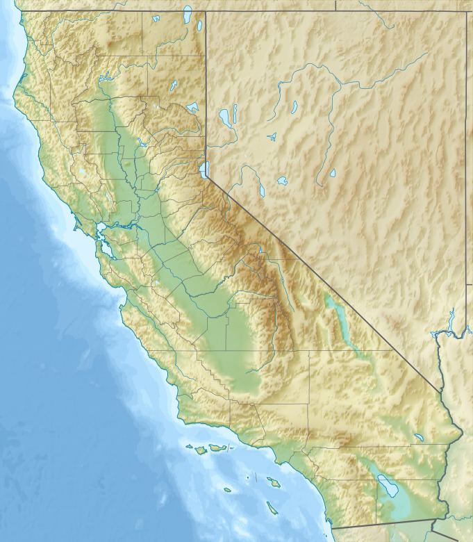
Map of San Felipe Hills, California 92066, USA
GeographyEdit
The range defines the eastern side of San Felipe Valley, with the Volcan Mountains defining the west side.
They run southwest of Ranchita, and northeast of Julian and the Iipay Nation of Santa Ysabel Reservation.
EcologyEdit
The southern section is within Anza-Borrego Desert State Park and supports Colorado Desert habitats. The northern section supports chaparral habitats.
References
San Felipe Hills (San Diego County) Wikipedia(Text) CC BY-SA