
Length 29 km | ||
 | ||
River mouth less than 2 meters (6.6 ft) above sea level | ||
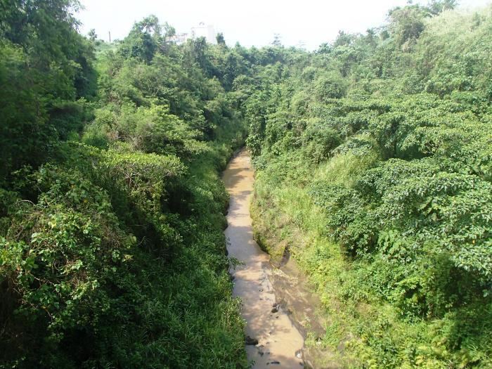
The San Cristobal River (Tagalog: Ilog ng San Cristobal) is a river system in the cities of Calamba and Cabuyao, Laguna, Philippines. The river forms as Calamba's northern boundary with Cabuyao. The river is one of 21 major tributaries of Laguna de Bay.
Contents
Map of San Cristobal River, Philippines
Hydrology
The main source of the San Cristobal River is Mount Sungay, the highest mountain of Cavite province, where the main stem and its tributaries drain the northern and eastern side of the mountain. Its watershed area covers Calamba City and Cabuyao City in Laguna, Tagaytay City and the municipality of Silang in Cavite. The river system of San Cristobal from Mount Sungay, is connected to the Matang Tubig located in Canlubang.
Water quality
Along with the San Juan River, the two rivers act as natural drainage systems by receiving and conveying Calamba's (and Cabuyao's for San Cristobal) liquid wastes and storm surface runoff to the nearby Laguna de Bay. Both rivers are very polluted as a result, thus, affecting the water quality of the lake as well.
Although a 1991 study cited the San Pedro River and Morong River as the sources of eutrophication-causing minerals in Laguna de Bay, the Laguna Lake Development Authority (LLDA) has noted that more recent deterioration of the San Cristobal River in Calamba have made it one of the lake's major sources of nutrient loading. The LLDA's conservation efforts for the major tributaries and watersheds of Laguna de Bay have led to the creation of the Laguna de Bay River Basin Councils, of which the San Cristobal River Enhancement Defenders (SACRED) is particularly tasked with conservation of the San Cristobal.