
Country Colombia Local time Saturday 8:23 AM | Area 702 km² | |
 | ||
Time zone Colombia Standard Time (UTC-5) Weather 21°C, Wind SW at 5 km/h, 84% Humidity | ||
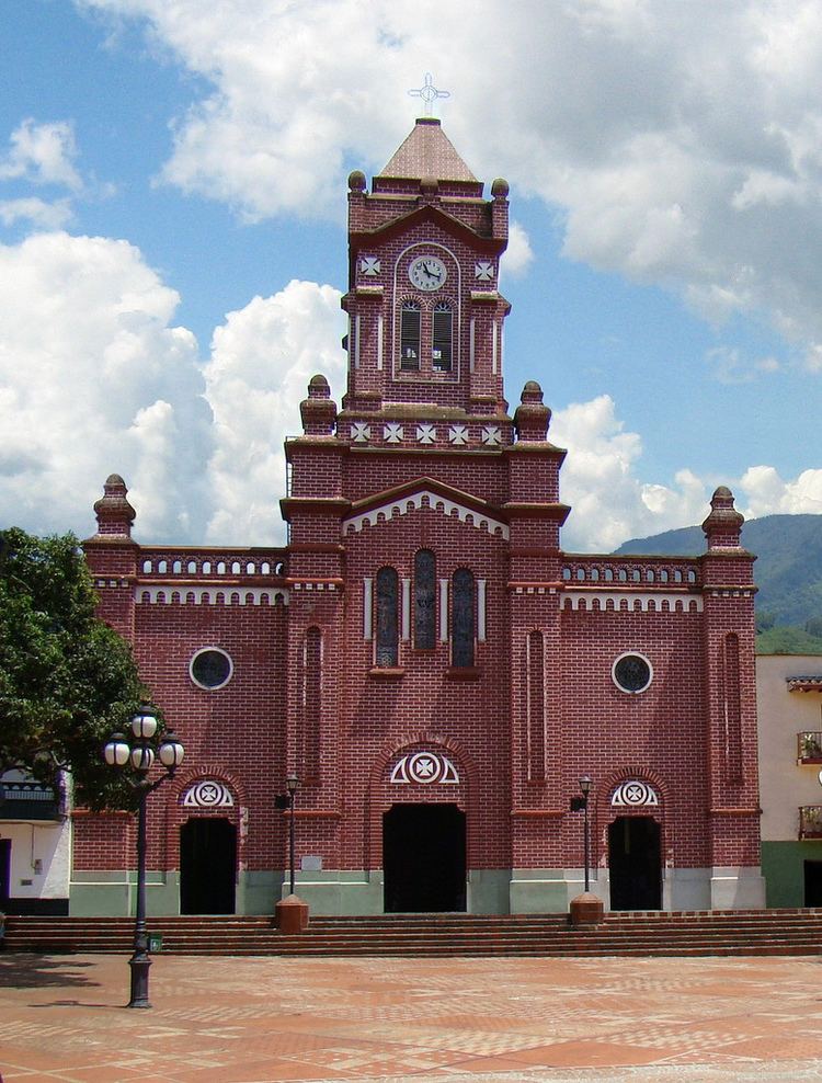
San Carlos is a town and municipality in the Colombian department of Antioquia, part of the subregion of Eastern Antioquia. Is called, the hydro-electrical capital of Colombia, because it has many dams and it produces lots of energy.
Contents
Map of San Carlos, Antioquia, Colombia
History
The site of the town was discovered by Captain Francisco Nuñez Pedroso: the town was founded the 14th of August, 1786.
San Carlos 3 hours away from the departmental capital, Medellín: the two are linked by an excellent road.
Geography
The municipal area is 702 km². It has 3 corregimientos, El Jordán, Puerto Garzas, and Samaná del Norte.
San Carlos has one of the most beautiful woods in Colombia, and has many species of plants and animals. It also has many rivers and waterfalls.
Economy
Tourism
Tourism has been one of the more important economic enterprises for the municipality.