
Time zone CET (UTC+1) Elevation 100 m | Dialing code 0184 Local time Saturday 3:01 PM Postal code 18030 | |
 | ||
Weather 14°C, Wind NE at 14 km/h, 70% Humidity | ||
Il paese delle rose san biagio della cima
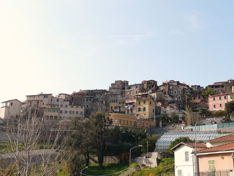
San Biagio della Cima is a comune (municipality) in the Province of Imperia in the Italian region Liguria, located about 120 kilometres (75 mi) southwest of Genoa and about 30 kilometres (19 mi) west of Imperia. As of 31 December 2004, it had a population of 1,226 and an area of 4.6 square kilometres (1.8 sq mi).
Contents
- Il paese delle rose san biagio della cima
- Map of 18036 San Biagio della Cima Province of Imperia Italy
- piccolo nido b b in liguria a san biagio della cima im
- Geography
- History
- Twin towns Sister cities
- References
Map of 18036 San Biagio della Cima, Province of Imperia, Italy
piccolo nido b b in liguria a san biagio della cima im
Geography
San Biagio della Cima borders the following municipalities: Camporosso, Dolceacqua, Perinaldo, Soldano, Vallebona, and Vallecrosia.
History
On 21 April 1686, the representants of eight villages, Camporosso, Vallebona, Vallecrosia, San Biagio della Cima, Sasso, Soldano, Borghetto San Nicolò and Bordighera had a meeting in order to build what they called "Magnifica Comunità degli Otto Luoghi", which can be translated as: "The magnificent community of the eight villages". Their goal was to gain independence from the nearby rival city of Ventimiglia.
Twin towns — Sister cities
San Biagio della Cima is twinned with: