
Area 718 km² University Mulawarman University Mayor Syaharie Jaang | Founded 1668 Population 727,500 (2010) | |
 | ||
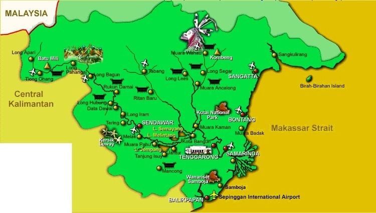
Map of Samarinda
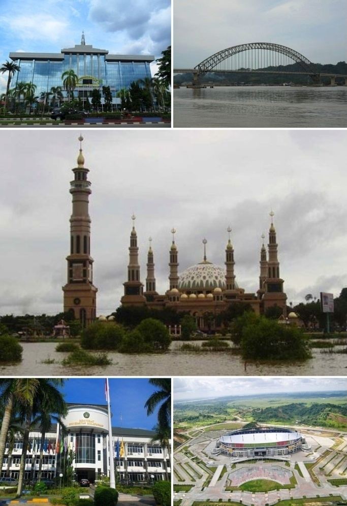
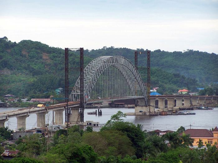
Samarinda is the capital of the Indonesian province of East Kalimantan on the island of Borneo. The city lies on the banks of the Mahakam River. It is the most populous city on the entire Borneo island, with an estimated population of 842,691, up from 726,223 at the 2010 Census. Although it is the capital of East Kalimantan, some government institutions such as the Police, Indonesian Army District VI Of Tanjung Pura, and Pelabuhan Indonesia (Port Transportation) are located on the island. Samarinda is known for its traditional food amplang, as well as the cloth sarung samarinda. The city also has a bridge connecting its river banks, Mahakam Bridge. The city center is on one side and the other side is named Samarinda Seberang.
Contents
- Map of Samarinda
- Eco stain samarinda all activities
- Afnsawesomemoment16 samarinda tenggarong eric yansens
- History
- Administration
- Etymology
- Infrastructure
- Demographics
- Religion
- Samarinda city kalimantan timur indonesia
- References
Eco stain samarinda all activities
Afnsawesomemoment16 samarinda tenggarong eric yansens
History
At the start of the Gowa War, the Dutch under Admiral Speelman's command attacked Makassar from the sea. Meanwhile, the Netherlands' local ally Arung Palaka led a ground attack. The Kingdom of Gowa was forced to surrender and Sultan Hassanudin was made to sign the Treaty of Bongaja on 19 November 1667.
The treaty did not quell all trouble for the Dutch however, since the Bugis from Gowa continued their struggle using guerilla tactics. Some Buginese moved to other islands close by such as Kalimantan. A few thousand people led by Lamohang Daeng Mangkona or Pua Ado I, moved to East Kalimantan, known then as Kutai, where they were welcomed by the local Sultan.
Samarinda was a small, sleepy town in 1942 with several small oil fields in the vicinity. It was occupied by the Japanese after the Dutch East Indies had fallen.
In 1955, the Apostolic Vicariate of Samarinda was established in the city. In 1961, it was promoted as the Diocese of Samarinda. In 2003, the diocese was promoted as the. Metropolitan Archdiocese of Samarinda.
Administration
Samarinda City is divided into six districts (Indonesian: kecamatan), tabulated below with their 2010 Census population:
Etymology
The name Samarinda originates from the description of the way in which the Bugis houses were constructed. At that time houses were customarily built on a raft and generally had the same height. This provided important social symbolism of equality between residents; no person's house, and thus no person, was seen as higher or lower than another. They named the settlement 'Samarenda', meaning 'equal in height'. After hundreds of years of use the pronunciation of the name changed slightly and the city became known as Samarinda.
Infrastructure
Samarinda Airport is one of the Kaltim's busiest airports in terms of passenger and cargo movement, serving more than 126 thousand passengers and handling 241 tonnes of cargo in 2013. 3 airlines operate at the airport and it is the primary hub of Kaltim Airlines.
Demographics
The territory's population in 2014 is 800,000, with an average annual growth rate of 6.7% over the previous 5 years. Majority of the people of Samarinda are of Native Indonesian and Chinese descent. There are also Americans, Canadians, Japanese and Koreans working in Samarinda. Life expectancy in Samarinda is 73.6 years as of 2014.
Religion
Samarinda's main religions are Islam, Buddhism and Confucianism. A Christian community of around 89,000 forms about 10.2% of the total population; Protestants forms a larger number than Roman Catholics at a rate of 10:3. There are also Hindu communities.