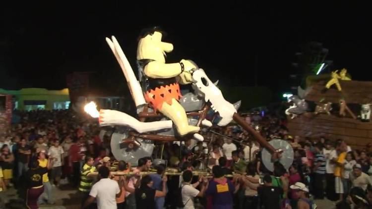
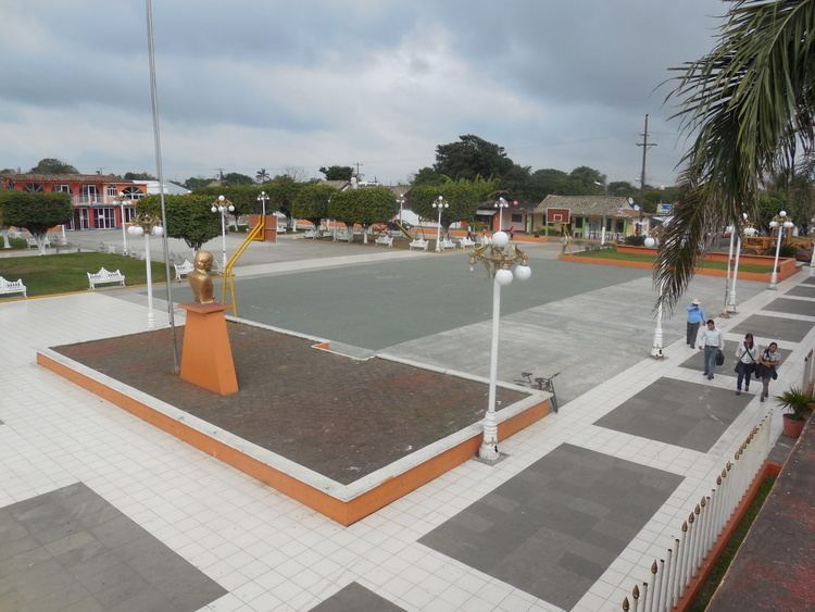
Mojiganga saltabarranca 2016
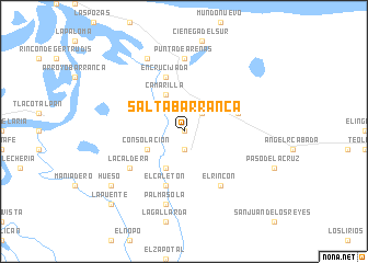
Saltabarranca is a municipality located in the south zone of the State of Veracruz, Mexico, about 180 kilometres (110 mi) from state capital Xalapa. It has an area of 91.3 km2 (35.3 sq mi). It is located at 18°22′N 95°48′W. There is not known the origin of the name of this existing municipality from the creation of the State of Veracruz (1824).
Contents
- Mojiganga saltabarranca 2016
- Clavadistas de saltabarranca
- Geographic Limits
- Agriculture
- Celebrations
- Weather
- References
Clavadistas de saltabarranca
Geographic Limits
The municipality of Saltabarranca is delimited to the north by Lerdo de Tejada to the east by Angel R. Cabada, to the south and west by Tlacotalpan. There is watered by the rivers San Juan, Ingenio and others, which are tributaries of the Papaloapan river, being outlined the renowned San Agustín and the Tecolapan.
Agriculture
It produces principally maize, beans, sugarcane, watermelon and green chile.
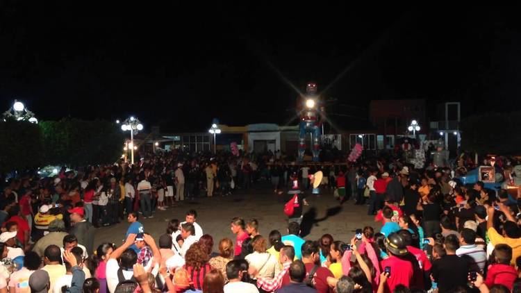
Celebrations
In Saltabarranca, in May takes place the celebration in honor to Virgen de la Concepción, Patron of the town, and in December takes place the celebration in honor to Virgen de Guadalupe.
Weather
The weather in Saltabarranca is warm and wet all year with rains in summer and autumn.