
OS grid reference TF325734 Post town Horncastle Local time Wednesday 6:05 PM | Sovereign state United Kingdom Postcode district LN9 | |
 | ||
Weather 14°C, Wind S at 24 km/h, 80% Humidity | ||
Salmonby climb
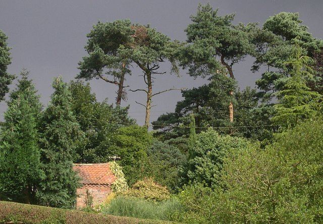
Salmonby is a village in the East Lindsey district of Lincolnshire, England. It is situated 5.5 miles (8.9 km) north-east from Horncastle, 10 miles (16 km) south from Louth and 8 miles (13 km) north-west from Spilsby. Salmonby lies within the Lincolnshire Wolds, a designated Area of Outstanding Natural Beauty. Tetford lies to the north-east and Somersby to the south.
Contents
- Salmonby climb
- Map of Salmonby Horncastle UK
- How to say salmonby high quality voices
- History
- Community
- Tetford and Salmonby Scarecrow Festival
- References
Map of Salmonby, Horncastle, UK
The parish covers about 1,000 acres (4.0 km2), and contains a chalybeate spring, whose waters eventually join the Steeping River near Spilsby.
How to say salmonby high quality voices
History
An upper palaeolithic core (a piece of flint which has been repeatedly used to flake material in order to make flint tools) was found near Salmonby. The core was in good condition and has been dated at 50,000 - 10,000 years old. The area was a source of blue phosphate of iron and a great deal of iron oxide ore.
Salmonby church, dedicated to St Margaret, closed in 1973.
Community
The village has a public house, the Cross Keys Inn & Restaurant, fishing lakes, cottages and a Caravan Club CL site. There is a picnic area at a nearby sandstone cliff wall; the wall has carved reliefs of unknown origin or age.
Tetford and Salmonby Scarecrow Festival
Tetford and Salmonby hold an annual weekend Scarecrow Festival. Villagers build scarecrows modelled on TV and film personalities, historic and contemporary figures and fictional icons, and display them outside their houses each year during May. A Scarecrow Trail is just over 1 mile (1.6 km) away. The event raises funds for Tetford church and local charities.