
- location Wolds Top Area 560 km² | - elevation 168 m (551 ft) Geology Chalk, Sandstone | |
 | ||
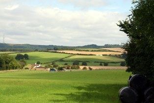
Walking lincolnshire wolds
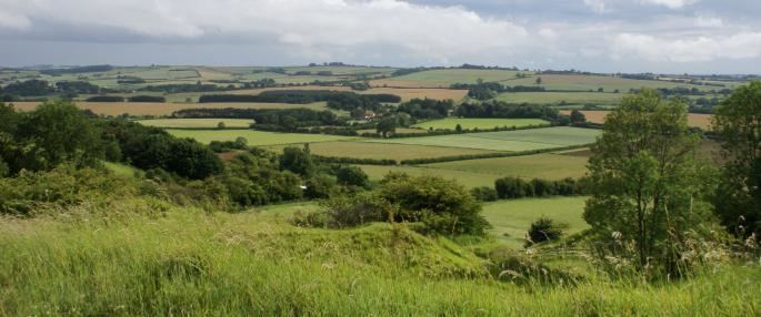
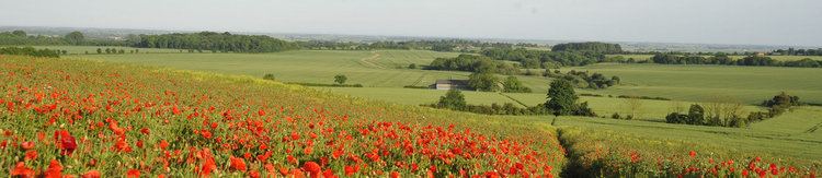
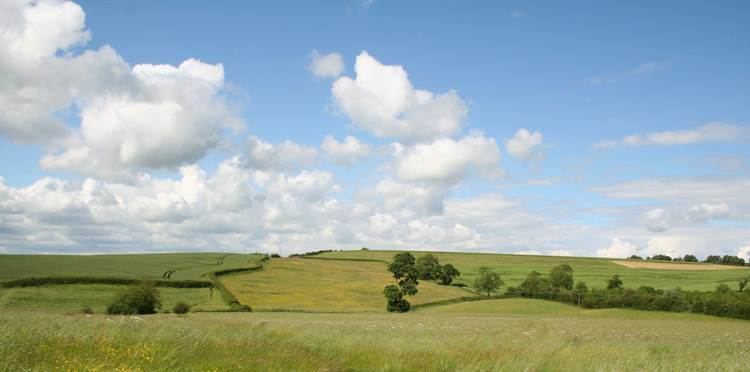
The Lincolnshire Wolds is a range of hills in the county of Lincolnshire, England. It is a designated Area of Outstanding Natural Beauty (AONB), and the highest area of land in eastern England between Yorkshire and Kent. They run roughly parallel with the North Sea coast, from the River Humber in the north-west to the edge of the Lincolnshire Fens in the south-east.
Contents
- Walking lincolnshire wolds
- Belchford lincolnshire wolds mtb july 2015
- Geography
- AONB
- People and places
- References
Belchford lincolnshire wolds mtb july 2015
Geography
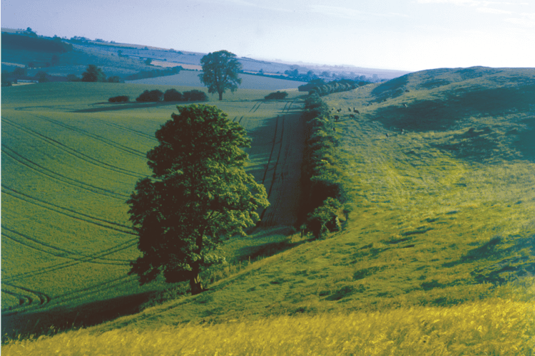
The Wolds comprise a series of low hills and steep valleys underlain by calcareous (chalk and limestone) and sandstone rock, laid down in the Cretaceous period. The characteristic open valleys of the Wolds were created during the last glacial period through the action of glaciation and meltwater.
Geologically, the Lincolnshire Wolds is a continuation of the Yorkshire Wolds which runs through the East Riding of Yorkshire; the point at which the ranges of hill crosses the Humber is known as the Humber Gap.
The Lincolnshire Wolds can be divided into four distinct areas:
- the main area of chalk hills in the north,
- the north west scarp,
- an area of ridges and valleys in the south west,
- the claylands in the south east.
The Red Hill nature reserve near the village of Goulceby is notable for the unusual red colour of its soil and underlying chalk.
Wolds Top is the highest point in the whole of Lincolnshire and is marked by a trig point just north of the village of Normanby le Wold, at approximately 551 feet (168 metres) above sea level (TF121964).
Other hills include:
The Wolds provide views across the flat fens and salt marshes of Lindsey and Holland: it is possible, from various points on the Wolds, to see all of the larger structures in the north and east of the county: the Belmont mast, Boston Stump, Grimsby Dock Tower, the Humber Bridge, Lincoln Cathedral, St James' Church in Louth (known locally as the 'Cathedral of the Wolds', though it holds only parish church status), the radar station near Normanby, Tattershall Castle and the wind turbines on the coast near Mablethorpe.
AONB
The Lincolnshire Wolds were designated an Area of Outstanding Natural Beauty (AONB) in 1973, and are managed as such by the Lincolnshire Wolds Countryside Service.
The Wolds Area of Outstanding Natural Beauty covers 560 square kilometres, while the Countryside Service recognise a wider Lincolnshire Wolds Character/Natural Area which incorporates the AONB and the neighbouring areas of the (geographical) Wolds to the north and south, which are not covered by the AONB.
The Wolds AONB cuts across the council boundaries of Lincolnshire County Council, East Lindsey District Council, West Lindsey District Council and North East Lincolnshire Council.
The boundaries of the AONB are marked by tourist signs incorporating stylized hills and trees, placed on roads leading into and out of the Wolds. The placing of these signs has not been uncontroversial, with some residents unhappy that they outline only the Wolds AONB and not the cultural/geographical area as a whole.
People and places
The Wolds are sparsely populated and have a rural character. They are 'ringed' by several small market towns that lie around their edge:
Many of the placenames in the Wolds indicate a strong Viking influence in the area's history. There is also an abundance of mediaeval 'lost villages' – settlements abandoned due to changes in land use, soil exhaustion and disease.
Several notable roads and paths run over the Wolds. Caistor High Street, the path of a Roman road and now the route of the B1225, runs from Caistor to Baumber near Horncastle. The ancient Bluestone Heath Road follows the course of an ancient drove road from west to east across the Wolds, and several "A" roads also run through the AONB.
The Wolds are now promoted as a tourist destination: the area's connection with Tennyson (who was born in Somersby) is being exploited, and farmers are being encouraged to diversify into the tourism industry. The roads of the Wolds are particularly popular with motorcyclists, and the area is home to Cadwell Park, one of the UK's top race circuits.
The area is also popular with hikers: the Viking Way long-distance footpath runs from Barton-upon-Humber in North Lincolnshire across the Lincolnshire Wolds and into Rutland, and there is a Youth Hostel in the middle of the Wolds at Woody's Top near the village of Tetford.