
- summer (DST) EDT Area code 315 | Zip code 13454 Local time Wednesday 10:39 AM | |
 | ||
Weather 3°C, Wind NW at 19 km/h, 69% Humidity | ||
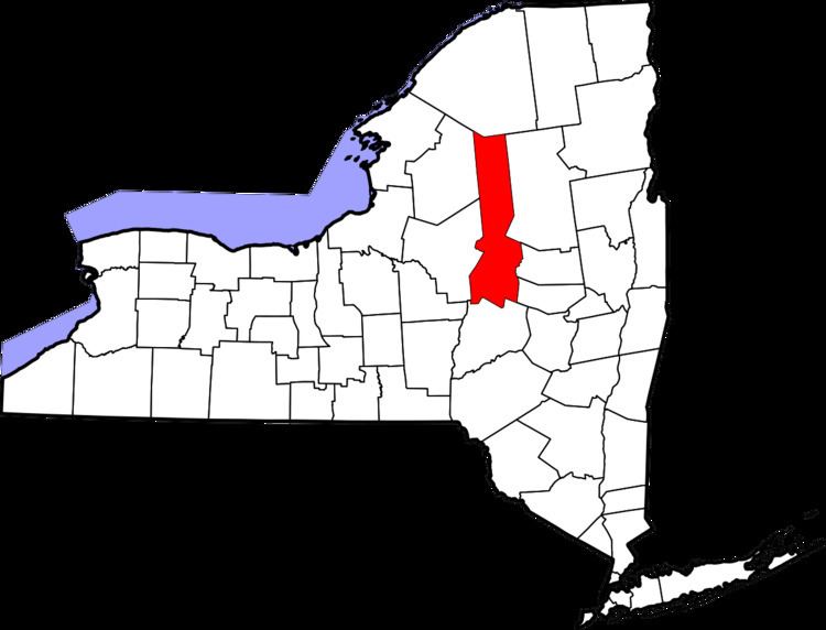
Salisbury is a town in Herkimer County, New York, United States. The population was 1,958 at the 2010 census.
Contents
- Map of Salisbury NY 13365 USA
- History
- Geography
- Demographics
- Notable people
- Communities and locations in Salisbury
- References
Map of Salisbury, NY 13365, USA
The Town of Salisbury is on the eastern edge of the county. Salisbury is north of the City of Little Falls. The northern part of the town is in the Adirondack Park.
History
Salisbury contains parts of the Jerseyfield Patent of 1770. The town was formed in 1797 from the Town of Palatine while in Montgomery County. Salisbury was annexed to Herkimer County in 1817.
The population of Salisbury in 1865 was 2,123.
The Augustus Frisbie House, Salisbury Center Covered Bridge, and Salisbury Center Grange Hall are listed on the National Register of Historic Places.
Geography
According to the United States Census Bureau, the town has a total area of 108.2 square miles (280.2 km²), of which, 107.4 square miles (278.2 km²) of it is land and 0.8 square miles (2.0 km²) of it (0.72%) is water.
The north town line is the border of Hamilton County and the east town line is the border of Fulton County.
The East Canada Creek marks the eastern town line.
Demographics
As of the census of 2000, there were 1,953 people, 689 households, and 507 families residing in the town. The population density was 18.2 people per square mile (7.0/km²). There were 926 housing units at an average density of 8.6 per square mile (3.3/km²). The racial makeup of the town was 98.36% White, 0.15% African American, 0.05% Native American, 0.41% Asian, 0.10% from other races, and 0.92% from two or more races. Hispanic or Latino of any race were 0.15% of the population.
There were 689 households out of which 40.1% had children under the age of 18 living with them, 56.7% were married couples living together, 9.1% had a female householder with no husband present, and 26.3% were non-families. 20.5% of all households were made up of individuals and 9.4% had someone living alone who was 65 years of age or older. The average household size was 2.83 and the average family size was 3.24.
In the town, the population was spread out with 28.8% under the age of 18, 7.7% from 18 to 24, 29.3% from 25 to 44, 23.3% from 45 to 64, and 10.9% who were 65 years of age or older. The median age was 36 years. For every 100 females there were 104.7 males. For every 100 females age 18 and over, there were 103.2 males.
The median income for a household in the town was $32,469, and the median income for a family was $36,384. Males had a median income of $26,314 versus $18,594 for females. The per capita income for the town was $12,642. About 8.4% of families and 12.3% of the population were below the poverty line, including 15.2% of those under age 18 and 14.0% of those age 65 or over.