
Time zone PST (UTC+8) Area 113.8 km² | Barangays ZIP code 6802 | |
 | ||
Congr. district Lone district of E. Samar Neighborhoods Matarinao, Sequinon, Asgad, Lusod, Maliwaliw, Santa Margarita, Alog, Balud, Buabua | ||
Butig fiesta bangkarera 2015 butig salcedo eastern samar
Salcedo is a fifth class municipality in the province of Eastern Samar, Philippines. According to the 2015 census, it has a population of 22,532 people.
Contents
- Butig fiesta bangkarera 2015 butig salcedo eastern samar
- Map of Salcedo Eastern Samar Philippines
- Jagnaya beach salcedo eastern samar friday 13 may 2016 4 26 09 pm
- History
- Barangays
- Demographics
- References
Map of Salcedo, Eastern Samar, Philippines
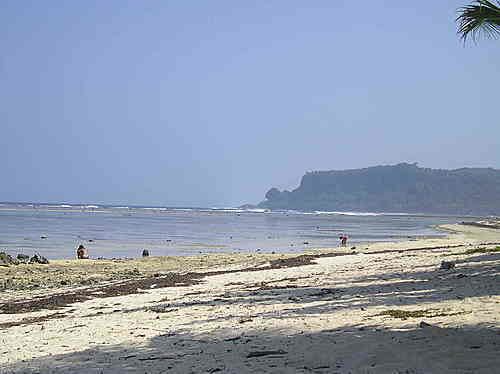
Jagnaya beach salcedo eastern samar friday 13 may 2016 4 26 09 pm
History
In 1959, the sitio of Balud was converted into a barrio.
Barangays
Salcedo is politically subdivided into 41 barangays.
Demographics
The population of Salcedo, Eastern Samar, in the 2015 census was 22,532 people, with a density of 200 inhabitants per square kilometre or 520 inhabitants per square mile.
References
Salcedo, Eastern Samar Wikipedia(Text) CC BY-SA