
Country India Vehicle registration WB Local time Wednesday 2:32 PM | Time zone IST (UTC+5:30) Lok Sabha constituency Sreerampur Population 15,171 (2011) | |
 | ||
Weather 35°C, Wind S at 11 km/h, 46% Humidity | ||
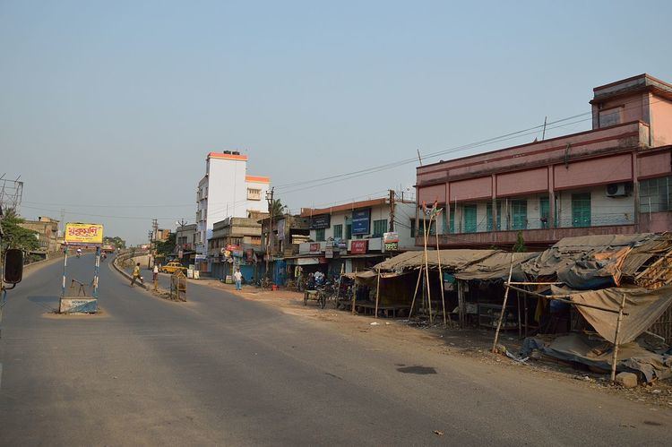
Salap is a census town in Domjur (community development block) under Domjur police station in Sadar subdivision of Howrah district in the Indian state of West Bengal.
Contents
Map of Salap, Howrah, West Bengal
Geography
Salap is located at 22.61°N 88.27°E / 22.61; 88.27.
Demographics
As per 2011 Census of India Salap had a total population of 15,171 of which 7,826 (52%) were males and 7,345 (48%) were females. Population below 6 years was 1,413. The total number of literates in Salap was 11,830 (85.99 % of the population over 6 years).
Salap was part of Kolkata Urban Agglomeration in 2011 census.
As of 2001 India census, Salap had a population of 11,759. Males constitute 52% of the population and females 48%. Salap has an average literacy rate of 75%, higher than the national average of 59.5%: male literacy is 80%, and female literacy is 69%. In Salap, 11% of the population is under 6 years of age.