
Last eruption Unknown Prominence 992 m | Elevation 992 m | |
 | ||
Similar Blup Blup, Ambitle, Ritter Island, Tanga Islands, Long Island | ||
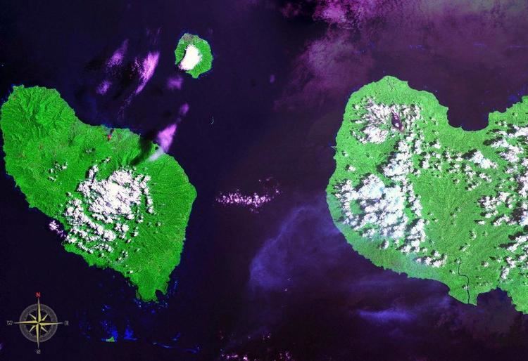
Sakar Island is a volcanic island north-west of New Britain in the Bismarck Sea, at 5.416667°S 148.1°E / -5.416667; 148.1. It is a stratovolcano with a summit crater lake. No recorded eruptions are known.
Map of Sakar Island, Papua New Guinea
References
Sakar Island Wikipedia(Text) CC BY-SA