
Other name(s) Slaná Length 229 km Basin area 12,700 km² | Discharge 70 m³/s Source elevation 1,280 m | |
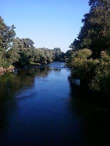 | ||
The Sajó (Hungarian) or Slaná (Slovak) is a river in Slovakia and Hungary.
Map of Saj%C3%B3
Its length is 229 km, of which 110 km is in Slovakia. Its source is in the Stolica Mountains range of the Slovak Ore Mountains. It flows through the Slovak town Rožňava and the Hungarian city Miskolc. In Hungary it flows through the county of Borsod-Abaúj-Zemplén. It flows into the River Tisza near Tiszaújváros. Its main tributaries are the Bodva and the Hornád.
Also known for Battle of the Sajó River from 11 April 1241 between the Mongol Empire and the Kingdom of Hungary.
References
Sajó Wikipedia(Text) CC BY-SA