
Flag Coat of arms Demonym(s) cabuérnigo, -a Population 24,036 (2014) | Area 829.6 km² | |
 | ||
Municipalities ListCabezón de la Sal, Cabuérniga, Campoo-Cabuérniga, Herrerías, Lamasón, Mazcuerras, Peñarrubia, Polaciones, Reocín, Rionansa, Ruente, Los Tojos, Tudanca | ||
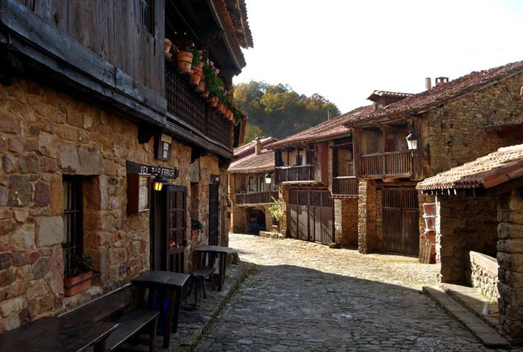
The Valleys of the Saja and Nansa Rivers comprise an administrative comarca in Cantabria, Spain. It is formed by the valleys of said rivers, each one being a natural comarca of its own.
Contents
Map of Saja and Nansa valleys, Cantabria, Spain
Saja valley
The valley of the Saja River, located in the autonomous community of Cantabria is formed by two natural comarcas.
This valleys share the varied relief of the Cantabrian Mountains. In the upper course can be found the Cordel mountains, the mountain ranges of Bárcena Mayor, the mounts of Cabuérniga and Ucieda and the Sierra del Escudo de Cabuérniga where the Hoz of Santa Lucía is formed. After that, the geography smooths, with larger lowlands, bordered by the Ibio Ranges and the small pre-coastal hills.
Nansa valley
Valley and natural comarca of Cantabria; located between the valleys of Liébana and Saja. It is bordered by the Escudo Range on the north and the Peña Labra Range on the south. Through the Nansa valley flows the river of the same name, which forms remarkably steep slopes at its sides, due to its torrential and eroding nature, chiefly at the first part of its course. The municipalities comprehended by the Nansa valley are: Lamasón, Rionansa, Tudanca, Polaciones and the part of Cabuérniga corresponding to the village of Carmona.
The comarca has a great landscape quality, thanks to its high peaks characteristics, large native forests (mostly oaks and beeches), and low population density, mostly dedicated to cattle farming.