
Population (2008) 582 Area 5.69 km² | Region Normandy Time zone CET (UTC+1) Local time Wednesday 4:52 AM | |
 | ||
Weather 11°C, Wind SW at 19 km/h, 81% Humidity | ||
Sainte honorine des pertes
Sainte-Honorine-des-Pertes is a former commune in the Calvados department in the Normandy region in northwestern France. On 1 January 2017, it was merged into the new commune Aure sur Mer.
Contents
- Sainte honorine des pertes
- Map of 14520 Sainte Honorine des Pertes France
- Sainte honorine des pertes normandie 09 06 1944 dday overlord
- World War II
- References
Map of 14520 Sainte-Honorine-des-Pertes, France
Sainte honorine des pertes normandie 09 06 1944 dday overlord
World War II
On 13 September 1942 13 British commandos landed at night near Sainte-Honorine-des-Pertes from a Motor Torpedo Boat in Operation Aquatint, a reconnaissance mission to collect information about the surrounding area, and take a German guard prisoner.
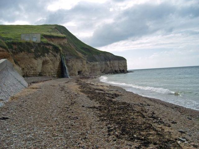
Sainte-Honorine-des-Pertes is located at the eastern end of Omaha Beach, one of the landings sites on D-Day, at the beginning of the Battle of Normandy, during World War II.
References
Sainte-Honorine-des-Pertes Wikipedia(Text) CC BY-SA