
Time zone EST (UTC−5) Area code(s) 450 and 579 Area 78.8 km² Local time Tuesday 10:25 PM Geocode 68020 | Constituted April 2, 1885 Postal code(s) J0L 1W0 Highways Route 205 Route 209 Population 1,704 (2011) Province Québec | |
 | ||
Weather 2°C, Wind E at 0 km/h, 97% Humidity RCMs Montérégie, Les Jardins-de-Napierville Regional County Municipality | ||
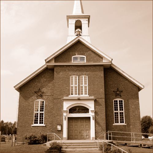
Sainte-Clotilde is a municipality in the Jardins de Napierville Regional County Municipality in Quebec, Canada, situated in the Montérégie administrative region. The population as of the Canada 2011 Census was 1,704.
Map of Sainte-Clotilde-de-Ch%C3%A2teauguay, QC, Canada
Before February 6, 2010 it was known as Sainte-Clotilde-de-Châteauguay.
References
Sainte-Clotilde, Quebec Wikipedia(Text) CC BY-SA