Samiksha Jaiswal (Editor)

Saint Venant

Updated on
Edit
Like
Comment
Share on FacebookTweet on TwitterShare on LinkedInShare on Reddit
Country
  
France

Department
  
Pas-de-Calais

Time zone
  
CET (UTC+1)

Population
  
3,206 (1999)

Arrondissement
  
Béthune

Region
  
Hauts-de-France

Canton
  
Lillers

Area
  
14.24 km²

Local time
  
Wednesday 3:24 AM

Saint-Venant

Intercommunality
  
Communauté de communes Artois-Lys

Weather
  
10°C, Wind SW at 14 km/h, 83% Humidity

Saint-Venant is a commune in the Pas-de-Calais department in the Hauts-de-France region of France.

Contents

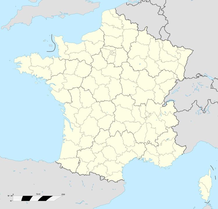
Map of Saint-Venant, France

Geography

Saint-Venant is situated some 9 miles (14.5 km) northwest of Béthune and 26 miles (41.8 km) west of Lille, at the junction of the D186 and D916 roads and by the banks of the Lys River.

Places of interest

  • The church of St. Venant, rebuilt along with much of the village after the First World War.
  • The Hotel de Ville (Town Hall), dating from the eighteenth century.
  • The civilian cemetery, incorporating a Commonwealth War Graves Commission cemetery and the grave of Edward Gordon Williams.
  • The town's war memorial.
  • A memorial to the Royal Welch Fusiliers.
  • Gardens of the Manoir de La Peylouse, incorporating an exhibition on First World War poetry.
  • References

    Saint-Venant Wikipedia