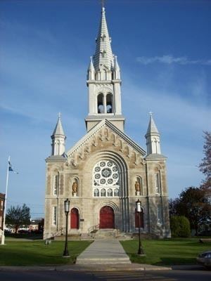
Country Canada Time zone EST (UTC-5) Population 8,564 (2006) Province Québec | Merged + Jan 01, 2002 Area code(s) 450 Local time Tuesday 9:14 PM | |
 | ||
Weather 2°C, Wind W at 5 km/h, 99% Humidity Points of interest Parc des îles Saint-Timothée, St-Timothee, Plage du Parc Régional des Iles Saint-Timothée | ||
Fall topwater bass fishing october 9th 2016 saint timothe e quebec canada
Saint-Timothée is a former municipality located in the Montérégie region of Quebec, Canada, on Île-de-Salaberry in the St. Lawrence River. It occupied the middle third and largest area of the island, which is part of the Hochelaga Archipelago. The municipality is flanked by the cities of Beauharnois to the east, and to the west by Salaberry-de-Valleyfield, which Saint-Timothée was merged with on January 1, 2002.
Contents
- Fall topwater bass fishing october 9th 2016 saint timothe e quebec canada
- Map of Saint TimothC3A9e Salaberry de Valleyfield QC Canada
- References
Map of Saint-Timoth%C3%A9e, Salaberry-de-Valleyfield, QC, Canada
References
Saint-Timothée, Quebec Wikipedia(Text) CC BY-SA
