
Area 13.32 km² Population 477 (1999) | Region Normandy Intercommunality CC Bray-Eawy Local time Wednesday 2:31 AM | |
 | ||
Weather 9°C, Wind S at 13 km/h, 82% Humidity | ||
Saint-Saire is a commune in the Seine-Maritime department in the Haute-Normandie region in north-western France.
Contents
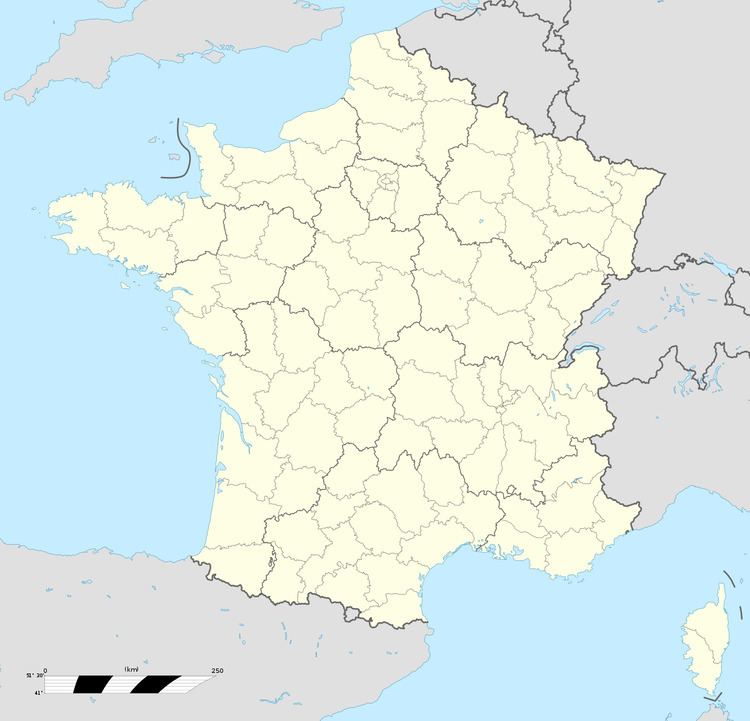
Map of Saint-Saire, France
Geography
A village of farming and associated light industry situated by the banks of the Béthune River in the Pays de Bray, some 30 miles (48 km) southeast of Dieppe at the junction of the D7, D19 and the D1314 roads.
Places of interest
People
References
Saint-Saire Wikipedia(Text) CC BY-SA