
Canton Blangy-sur-Bresle Area 9.99 km² | Region Normandy Intercommunality Blangy-sur-Bresle Local time Wednesday 2:12 AM | |
 | ||
Weather 9°C, Wind SW at 14 km/h, 81% Humidity | ||
Saint-Riquier-en-Rivière is a commune in the Seine-Maritime department in the Haute-Normandie region in northern France.
Contents
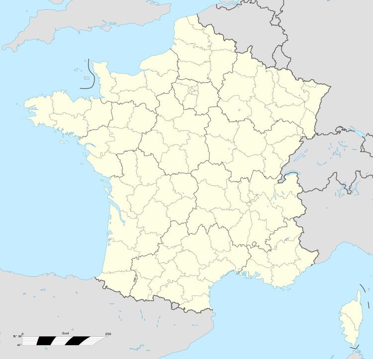
Map of 76340 Saint-Riquier-en-Rivi%C3%A8re, France
Geography
A small forestry and farming village situated by the banks of the Yères river in the Pays de Bray, some 19 miles (31 km) east of Dieppe at the junction of the D16 and the D127 roads. The A28 autoroute passes through the southern part of the commune.
Places of interest
References
Saint-Riquier-en-Rivière Wikipedia(Text) CC BY-SA