
Intercommunality Cœur de Combrailles Population 678 (1999) | Area 45.09 km² Local time Wednesday 1:54 AM | |
 | ||
Weather 4°C, Wind SE at 3 km/h, 84% Humidity | ||
Saint-Priest-des-Champs is a French commune in the Puy-de-Dôme department in the Auvergne of central France.
Contents
- Map of 63640 Saint Priest des Champs France
- Geography
- Administration
- Twinning
- Demography
- Culture and heritage
- Facilities
- References
Map of 63640 Saint-Priest-des-Champs, France
The inhabitants of the commune are known as Saint-Priestois or Saint-Priestoises.
Geography
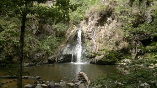
Saint-Priest-des-Champs is located some 25 km west of Combronde and 15 km north-west of Bromont-Lamothe. Access to the commune is by the D987 from Pontaumur in the south which passes through the length of the commune and the village before continuing north-east to Saint-Gervais-d'Auvergne. The D62 comes from Espinasse in the north-west and continues through the village south-east to Les Ancizes-Comps. The D515 also goes west from the village to Biollet. The D512 branches from the D987 at the south-western border of the commune and forms most of the southern border of the commune. The commune is mixed forest and farmland.
The south-eastern border of the commune is marked by the Sioule river which flows north forming a lake behind the dam just east of the commune. The north eastern border is formed by the Chalamont which flows south to join the Sioulet near the dam. The Coli rises in the west of the commune and flows east, south of the village, to join the Sioule. Many other streams rise in the commune and flow south-east to join the Sioule. Other streams rise in the west of the commune and join the Ruisseau de Coulet which flows south to join the Chevalet near Tingaud.
Administration
List of Successive Mayors
(Not all data is known)
Twinning
Saint-Priest-des-Champs has twinning associations with:
Demography
In 2010 the commune had 691 inhabitants. The evolution of the number of inhabitants is known from the population censuses conducted in the commune since 1793. From the 21st century, a census of communes with fewer than 10,000 inhabitants is held every five years, unlike larger communes that have a sample survey every year.
Sources : Ldh/EHESS/Cassini until 1962, INSEE database from 1968 (population without double counting and municipal population from 2006)
Culture and heritage
There is a Bourrée or dance called Bourrée de Saint-Priest (also known as Les garçons maçons). Many of these popular dance tunes, usually untitled and anonymous, have often been "renamed" in their collection, or interpretation, or the name of the collection place. There is a giate (a bourrée in triple time) in the repertoire of Jean Lecuyer, an accordion player at Saint-Priest-des-Champs.
Facilities
There is a convenience store and a postal agency in the commune. There is an osteopath near the church.