
Country France Canton Saint-Philippe INSEE/Postal code 97417 /97442 Local time Wednesday 3:17 AM | Population (2012) 5,072 Area 153.9 km² | |
 | ||
Elevation 0–2,630 m (0–8,629 ft)(avg. 40 m or 130 ft) Weather 24°C, Wind N at 10 km/h, 82% Humidity Points of interest Piton de la Fournaise, Parfums et des Epices Garden, Cratère Dolomieu, Puits des Anglais, Puits des Français | ||
F te du vacoa 2014 saint philippe le de la r union
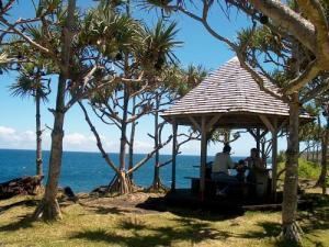
Saint-Philippe is a commune in the French overseas department of Réunion. It is located in south-eastern Reunion.
Contents
- F te du vacoa 2014 saint philippe le de la r union
- Map of Saint Philippe Reunion
- Pique nique saint philippe pour les 18 ans de eva fontaine
- Geography
- History
- References
Map of Saint-Philippe, Reunion
Pique nique saint philippe pour les 18 ans de eva fontaine
Geography
Saint-Philippe is on the highest point on the island. It borders the municipalities of Saint-Joseph and Sainte-Rose, to the west and north respectively. Although it is a coastal area, the administrative centre is in Les Hauts (the highland area of the island).
History
A notable event in the commune's history was in 1897, when the Warren Hastings, a British boat, ran aground in the middle of the night. Two seamen died as a result, the crash sparked by a compass malfunction resulting from the eruption of the Piton de la Fournaise. On board the ship was some electricity, for which the village of Tremblet would have to wait until 1984 to finally receive.