
Time zone CET (UTC+1) Local time Wednesday 12:53 AM | Area 12.48 km² Population 203 (1999) | |
 | ||
Weather 8°C, Wind W at 2 km/h, 89% Humidity | ||
Saint-Outrille is a commune in the Cher department in the Centre region of France. It is named after the 7th century Saint Austregisilus.
Contents
Map of 18310 Saint-Outrille, France
Geography
An area of farmland, forests and a village suburb on the left bank of the Fouzon river, which forms the boundary with the much larger village of Graçay, situated about 12 miles (19 km) southwest of Vierzon near the junction of the D68 with the D83 and D922 roads. The commune borders the department of Indre.
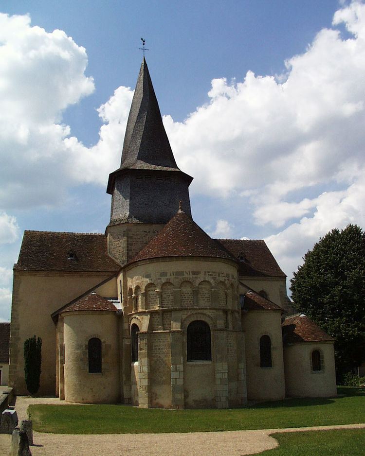
Sights
References
Saint-Outrille Wikipedia(Text) CC BY-SA