
Population (2008) 1,557 Local time Thursday 7:54 AM | Canton Graçay Area 31.82 km² | |
 | ||
Weather 11°C, Wind SW at 11 km/h, 87% Humidity | ||
Graçay is a commune in the Cher department in the Centre region of France.
Contents
Map of 18310 Gra%C3%A7ay, France
Geography
It is a farming area comprising the small town and several hamlets, on the right bank of the Fouzon river, situated some 12 miles (19 km) southwest of Vierzon at the junction of the D68, D19, D83 and D922 roads. Junction 9 of the A20 autoroute lies within the territory of the commune
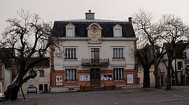
Sights
References
Graçay Wikipedia(Text) CC BY-SA