Intercommunality Vimeu Vert Area 6.38 km² | Canton Moyenneville Population (2006) 383 Local time Wednesday 12:13 AM | |
 | ||
Weather 11°C, Wind S at 11 km/h, 87% Humidity | ||
Saint-Maxent is a commune in the Somme department in Hauts-de-France in northern France.
Contents
Map of 80140 Saint-Maxent, France
Geography
The commune is situated some 10 miles (16 km) southwest of Abbeville, on the D86 and D29 road junction, about a mile from the A28 autoroute.
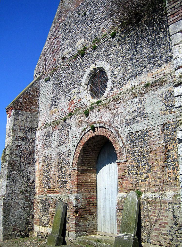
Places of interest
The railway was opened on 9 May 1872 and was used principally from freight, although some passengers were carried.
It was finally closed on 10 November 1993. It served the following communes:
Longpré-les-Corps-Saints / Bettencourt-Rivière / Airaines / Allery / Wiry-au-Mont / Forceville / Oisemont / Cerisy-Buleux / Martainneville / Saint-Maxent / Vismes-au-Val / Maisnières / Longroy and Gamaches
References
Saint-Maxent Wikipedia(Text) CC BY-SA
