
Area 18.55 km² Population 277 (1999) | Intercommunality Portes du Boischaut Local time Tuesday 10:49 PM | |
 | ||
Weather 9°C, Wind S at 2 km/h, 78% Humidity | ||
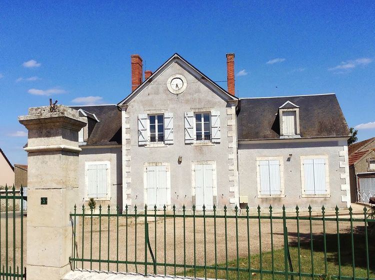
Saint-Loup-des-Chaumes is a commune in the Cher department in the Centre region of France.
Contents
Map of 18190 Saint-Loup-des-Chaumes, France
Geography
An area of lakes, streams and farming comprising the village and two hamlets situated on the banks of the river Cher some 18 miles (29 km) south of Bourges at the junction of the D3 with the D35 and the D37 roads. The A71 autoroute passes through the eastern side of the commune.
Sights
References
Saint-Loup-des-Chaumes Wikipedia(Text) CC BY-SA