
First contested 1997 District webpage profile, map Province Québec | District created 1996 Last contested 2011 Population (2011) 92,419 Elector 73,935 | |
 | ||
Saint-Lambert was a federal electoral district in the Canadian province of Quebec. It was represented in the Canadian House of Commons since 1997. Its population in 2006 was 94,541. It has been replaced by Brossard—Saint-Lambert.
Contents
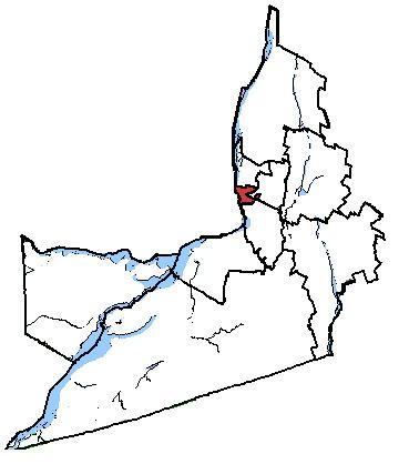
Map of Saint-Lambert, QC, Canada
Geography
This riding on Montreal's South Shore was located in the Quebec region of Montérégie. The district included the City of Saint-Lambert, the former City of Greenfield Park, the former Town of LeMoyne, and the western part of the pre-2002 City of Longueuil.
The neighbouring ridings were Longueuil—Pierre-Boucher, Saint-Bruno—Saint-Hubert, Brossard—La Prairie, Jeanne-Le Ber, Laurier—Sainte-Marie, and Hochelaga.
Demographics
According to the Canada 2001 CensusMembers of Parliament
This riding elected the following Members of Parliament:
Election results
Note: Conservative vote is compared to the total of the Canadian Alliance vote and Progressive Conservative vote in 2000 election.