
Intercommunality Étangs Area 34.52 km² Local time Tuesday 10:58 PM | Region Île-de-France Time zone CET (UTC+1) Population 1,322 (1999) | |
 | ||
Weather 11°C, Wind SW at 8 km/h, 76% Humidity | ||
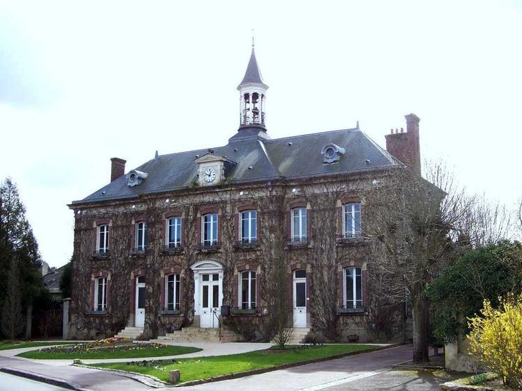
Saint-Léger-en-Yvelines is a commune in the Yvelines department in the Île-de-France in north-central France.
Contents
Map of Saint-L%C3%A9ger-en-Yvelines, France
Site
The district of Saint-Léger-en-Yvelines is in the centre of the department and in the heart of the Forest of Rambouillet. Rambouillet itself, the administrative centre of the arrondissement, is some 11 km (6.8 mi) to the south-east, and the prefecture, Versailles, is 37 km (23 mi) to the north-east.
The district is a rural one, and 94% of the unbuilt area is covered by forest, complemented by some cultivated clearings, primarily to the south of the village.
References
Saint-Léger-en-Yvelines Wikipedia(Text) CC BY-SA