
Country United States ZIP codes 41368 Elevation 222 m | Time zone Eastern (EST) (UTC-5) GNIS feature ID 515175 Local time Tuesday 5:54 AM | |
 | ||
Weather 13°C, Wind SW at 3 km/h, 95% Humidity | ||
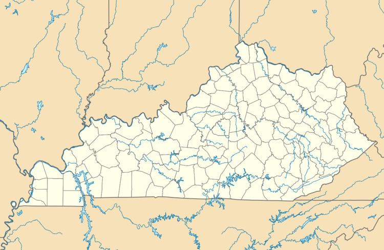
Saint Helens is an unincorporated community in Lee County, Kentucky, in the United States. It lies along Route 52 east of the city of Beattyville, the county seat of Lee County. Its elevation is 728 feet (222 m). Although it is unincorporated, it has a post office, with the ZIP code of 41368. This post office preëmpted the naming of a community in Jefferson County as Saint Helens; instead, it had to adopt the name "Shively" after an early settler.
Map of St Helens, KY 41311, USA
It is also sometimes known as Three Forks.
References
Saint Helens, Kentucky Wikipedia(Text) CC BY-SA