
Intercommunality Le Dunois Area 29 km² Local time Tuesday 8:16 PM | Time zone CET (UTC+1) Population 547 (1999) | |
 | ||
Weather 16°C, Wind W at 5 km/h, 56% Humidity | ||
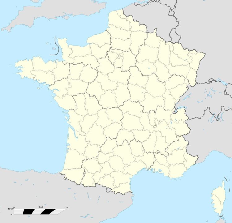
Saint-Germain-des-Bois is a commune in the Cher department in the Centre region of France.
Contents
Map of 18340 Saint-Germain-des-Bois, France
Geography
A farming area comprising the village and a couple of hamlets situated about 13 miles (21 km) south of Bourges at the junction of the D28 and the D132 roads. The A71 autoroute passes through the northwestern part of the commune.
Sights
References
Saint-Germain-des-Bois, Cher Wikipedia(Text) CC BY-SA