
Area 24.01 km² Local time Tuesday 7:09 PM | Time zone CET (UTC+1) Population 8,941 (2007) | |
 | ||
Weather 18°C, Wind W at 10 km/h, 50% Humidity | ||
Saint-Doulchard is a commune in the Cher department in the Centre region of France. It is on the outskirts of Bourges.
Contents
Map of Saint-Doulchard, France
History
In Roman times, it was named Ampeliacum, which literally means "the vineyard hillsides", where they grew grapes.
In the Middle Ages, it was home to Dulcardus, a hermit monk who gave his name to the place - St. Doulchard, by then just a village with a small church and bell tower.
With the introduction of railways in the nineteenth century and the Michelin tyre factory in 1950, the commune has grown, attracting businesses, jobs and an ever increasing population.
Geography
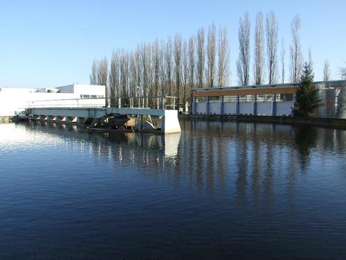
An area of both farming and light industry comprising a small suburban town and several hamlets situated along the banks of the Yèvre and the canal de Berry, immediately to the west of Bourges at the junction of the D104 with the D60 and the N76 with the D400 road.
Sights
Personalities
International relations
Saint-Doulchard is twinned with: