
ZIP codes 50616, 50645, 50653 Elevation 321 m Local time Tuesday 4:01 AM | Time zone CST (UTC-6) GNIS feature ID 0468652 Area 165.6 km² Population 1,346 (2000) | |
 | ||
Weather 6°C, Wind N at 6 km/h, 96% Humidity | ||
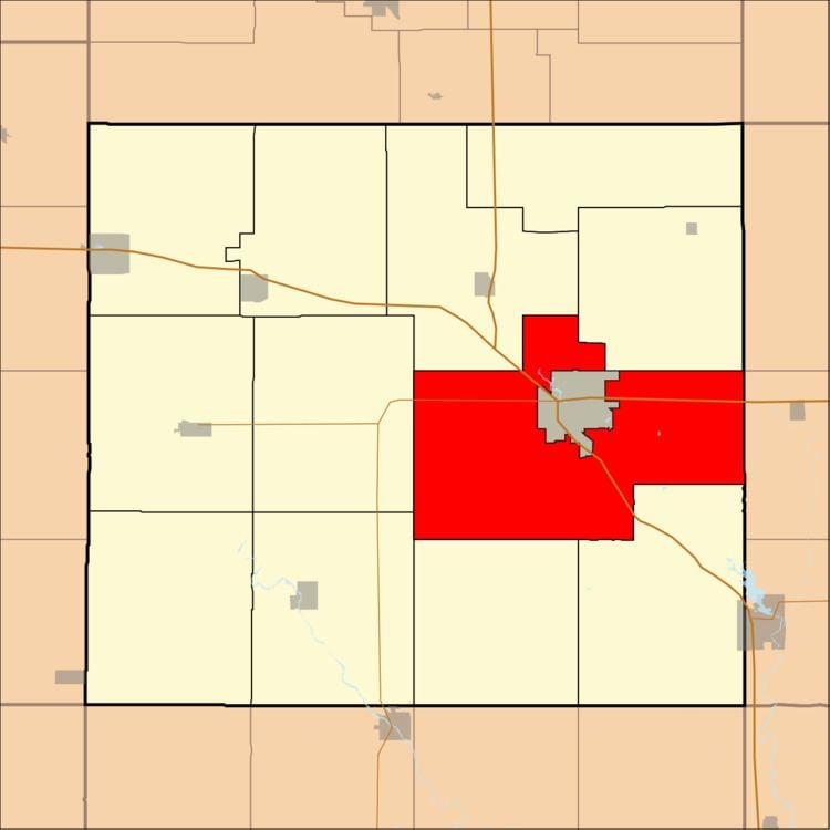
Saint Charles Township is one of twelve townships in Floyd County, Iowa, USA. As of the 2000 census, its population was 1,346.
Contents
- Map of St Charles IA USA
- Geography
- Cities towns villages
- Adjacent townships
- Major highways
- Landmarks
- School districts
- Political districts
- References
Map of St Charles, IA, USA
Geography
According to the United States Census Bureau, Saint Charles Township covers an area of 63.92 square miles (165.56 square kilometers); of this, 63.87 square miles (165.43 square kilometers, 99.92 percent) is land and 0.05 square miles (0.13 square kilometers, 0.08 percent) is water.
Cities, towns, villages
The city of Charles City is entirely within this township geographically but is a separate entity.
Adjacent townships
Major highways
Landmarks
School districts
Political districts
References
Saint Charles Township, Floyd County, Iowa Wikipedia(Text) CC BY-SA