
ZIP codes 50616, 50645 Elevation 315 m Population 533 (2000) | Time zone CST (UTC-6) GNIS feature ID 0468442 Area 89.6 km² Local time Monday 3:42 PM | |
 | ||
Weather 8°C, Wind N at 10 km/h, 86% Humidity | ||
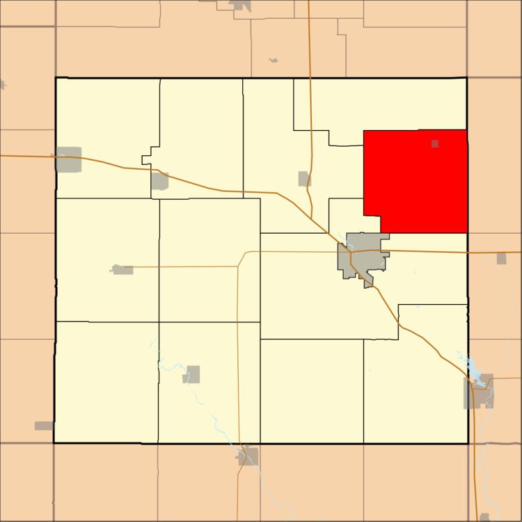
Niles Township is one of twelve townships in Floyd County, Iowa, USA. As of the 2000 census, its population was 533.
Contents
- Map of Niles IA USA
- Geography
- Cities towns villages
- Unincorporated towns
- Adjacent townships
- Cemeteries
- Landmarks
- School districts
- Political districts
- References
Map of Niles, IA, USA
Geography
According to the United States Census Bureau, Niles Township covers an area of 34.6 square miles (89.62 square kilometers).
Cities, towns, villages
Unincorporated towns
(This list is based on USGS data and may include former settlements.)
Adjacent townships
Cemeteries
The township contains Beckwith Cemetery.
Landmarks
School districts
Political districts
References
Niles Township, Floyd County, Iowa Wikipedia(Text) CC BY-SA