
Canton Clères Area 12.28 km² Population 821 (1999) | Region Normandy Time zone CET (UTC+1) Local time Tuesday 4:54 PM | |
 | ||
Weather 16°C, Wind SW at 19 km/h, 62% Humidity | ||
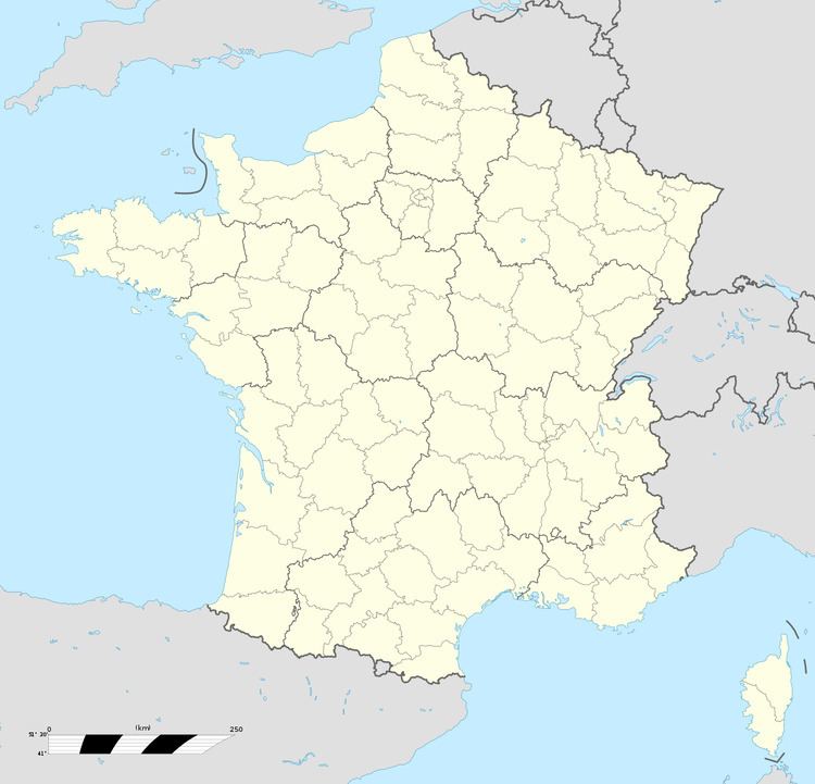
Saint-André-sur-Cailly is a commune in the Seine-Maritime department in the Haute-Normandie region in northern France.
Contents
Map of 76690 Saint-Andr%C3%A9-sur-Cailly, France
Geography
A farming village situated in the valley of the Cailly River, some 12 miles (19 km) northeast of Rouen at the junction of the D12, D87 and the D928 roads. The A28 autoroute runs through the commune’s territory.
Places of interest
References
Saint-André-sur-Cailly Wikipedia(Text) CC BY-SA