
Time zone EST (UTC−5) Highways A-55 Route 153 Area 105.6 km² Local time Tuesday 10:03 PM Area code 819 | Constituted April 14, 1859 Postal code(s) G0X 2P0 Website www.mun-stedg.qc.ca Population 4,217 (2011) Province Québec | |
 | ||
Weather 2°C, Wind NW at 6 km/h, 92% Humidity RCMs Mauricie, Maskinongé Regional County Municipality | ||
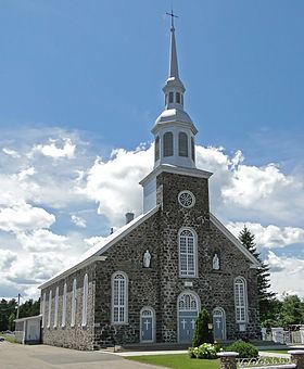
Saint-Étienne-des-Grès is a parish municipality in the Mauricie region of the province of Quebec in Canada.
Contents
Map of Saint-%C3%89tienne-des-Gr%C3%A8s, QC, Canada
Local points of interest include La Gabelle Generating Station, a power plant completed in 1924.
List of Mayors
The Mayor is the municipality's highest elected official. Saint-Étienne-des-Grès has had thirty-one mayors.
Officially, municipal elections in Saint-Étienne-des-Grès are on a non-partisan basis.
Related articles
References
Saint-Étienne-des-Grès, Quebec Wikipedia(Text) CC BY-SA