
 | ||
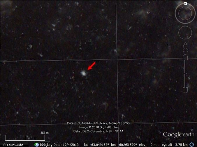
Sail Rock, the remaining uppermost part of a submerged volcanic edifice, is 30 m high, and lies 7 nautical miles (13 km) southwest of Deception Island, in the South Shetland Islands. This name, which dates back to at least 1822, was probably given by sealers. From a distance, the rock is reported to resemble a ship under sail, but at close range it is more like a house with a gable roof.
In June 2016, the 'Daily Mail' published a satellite photo of the rock with the caption, "Has a KRAKEN been spotted on Google Earth?". with theories that the rock might be a giant squid, a plesiosaur, an underwater UFO, and other unlikely theories.
This article incorporates public domain material from the United States Geological Survey document "Sail Rock (South Shetland Islands)" (content from the Geographic Names Information System).