
Language spoken Mara Reih | State Mizoram District Siaha | |
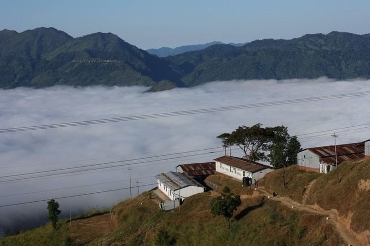
Siaha (official name in Mara) is a census town in Siaha district in the Indian north-eastern state of Mizoram. It is the Headquarters of the Mara Autonomous District Council, one of the three autonomous district councils within Mizoram. It is located in the South Central part of the state. The word Siaha in the local Mara language is Sia for Masia which means elephant and ha meaning tooth - An elephant tooth. It was a place where a large amount of elephant teeth were found. Though the local people name the town as Siaha, Mizos called it by the name Saiha, which is purely a translated term in Mizo language.
Contents
Map of Saiha
Siaha is a commercial hub for Mara people and even neighbouring Burmese peoples.
Saiha tourist lodge
Demographics
As of 2001 India census, Saiha had a population of 19,731. Males constitute 52% of the population and females 48%. Saiha has an average literacy rate of 79%, higher than the national average of 59.5%: male literacy is 80%, and female literacy is 77%. In Saiha, 16% of the population is under 6 years of age. Siaha is the fastest growing town in Mizoram, 2008 statistical handbook of Mizoram reveals that the town has a population of 29,275 in 2008 against 19,731 in 2001.
Education
There is one college - Saiha College, under Mizoram University and a number of public and private schools.
Transport
A Helicopter service by Pawan Hans has been started which connects the Aizawl with Saiha. The Distance between Saiha and Aizawl through NH 54 is 378 km and is connected with regular service of Bus and Jeeps.
Media
The Major Newspapers in Saiha are:
- Buannel
- Chhim Aw
- Kawl Eng
- Maraland
- Moonlight Moonlight Online
- Mara Thlala Mara Thlala
- Saiha Post
- Saikhawpui
- Saiha Times
- Awsicharu [awsicharu.wordpress.com]
- Deiva Mara Daily Deiva Mara Daily
Geography
Saiha is located at 22.48°N 92.97°E? / 22.48; 92.97. The average elevation is 729 metres (2391 feet).