
Headquarters Saharsa Website Official website Administrative division Kosi division Major highway National Highway 107 | Major highways NH 107 Area 1,702 km² Lok sabha constituency Saharsa | |
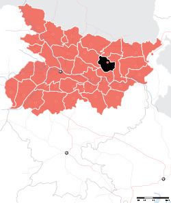 | ||
Saharsa is one of the thirty-eight districts of Bihar, India. Saharsa town is the administrative headquarters of this district. Saharsa district is a part of the Kosi Division and it became a district on 1 April 1954 and has subsequently become smaller with other districts being carved from it, most notably Madhepura in 1981. Saharsa is located in the Mithila region, one of the earliest centres of Brahmanical civilisation in India.
Contents
Map of Saharsa, Bihar
Geography
Saharsa district occupies an area of 1,687 square kilometres (651 sq mi),
Saharsa district is surrounded on the west by the river Kosi, which boasts an abundance of fish and makhana. Saharsa is famous for its varieties of mangoes and litchis.
Saharsa district comprises the following Sub-Divisions: Saharasa Sadar and Simri Bakhtiyarpur.
Economy
In 2006 the Ministry of Panchayati Raj named Saharsa one of the country's 250 most backward districts (out of a total of 640). It is one of the 38 districts in Bihar currently receiving funds from the Backward Regions Grant Fund Programme (BRGF).
Demographics
According to the 2011 census Saharsa district has a population of 1,897,102, This gives it a ranking of 247th in India (out of a total of 640). The district has a population density of 1,125 inhabitants per square kilometre (2,910/sq mi) . Its population growth rate over the decade 2001–2011 was 25.79%. Saharsa has a sex ratio of 906 females for every 1000 males, and a literacy rate of 54.57%.