
Elevation 6 m Local time Tuesday 8:21 AM | Time zone IST (UTC+5:30) Vehicle registration WB Population 9,022 (2011) | |
 | ||
Weather 28°C, Wind S at 19 km/h, 76% Humidity | ||
Sahapur
Sahapur is a census town in Panchla CD Block under Panchla police station in Sadar subdivision of Howrah district in the Indian state of West Bengal.
Contents
- Sahapur
- Map of Sahapur Nalpur Howrah West Bengal
- Sahapur shetkari uddhav thakre
- Geography
- Demographics
- References
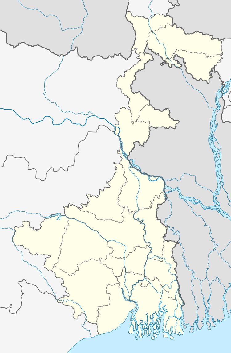
Map of Sahapur, Nalpur, Howrah, West Bengal
Sahapur shetkari uddhav thakre
Geography
Sahapur is located at 22.52°N 88.17°E / 22.52; 88.17. It has an average elevation of 6 metres (19 feet). Sahapur is also a small village at bankura district of west Bengal under onda police station and shantore panchyat.
Demographics
As per 2011 Census of India Shahpur had a total population of 9,022 of which 4,675 (52%) were males and 4,347 (48%) were females. Population below 6 years was 3,528. The total number of literates in Shahpur was 6,247 (78.96 % of the population over 6 years).
As of 2001 India census, Sahapur had a population of 7,533. Males constitute 51% of the population and females 49%. Sahapur has an average literacy rate of 66%, higher than the national average of 59.5%: male literacy is 72%, and female literacy is 60%. In Sahapur, 14% of the population is under 6 years of age.