
Type Open-space park Created 1980 Address Brandeis, CA 93064, USA Phone +1 818-999-3753 | Status Open Area 257 ha | |
 | ||
Similar Corriganv Park, Knapp Ranch Park, Las Llajas Canyon Trail, Santa Susana Pass Stat, Cheseboro and Palo Comado | ||
Hiking in sage ranch park
Sage Ranch Park is a 625-acre park (253 ha) and wildlife corridor located at a 2,000 feet (610 m) height in the northwestern Simi Hills on the northwestern plateau of the Simi Valley, bordering Los Angeles County and its San Fernando Valley. The campground area used to be a cattle ranch and later a filmset for Western movies. Sage Ranch Park is today an intermountain wildlife corridor, which links the Simi Hills with the Santa Susana- and Santa Monica Mountains. The mountainous park is mostly known for its unique sandstone rock formations, maybe particularly on its western side where the Sandstone Ridge and Turtle Rock are situated. On its northern side, there are great panoramic rural and metropolitan views of the Simi Valley, as well as surrounding Simi Hills, Santa Susana Mountains and beyond. It is home to numerous sandstone formations, caves, outcroppings, tilted rock formations, several hiking trails, a camping ground, as well as native flora and wildlife. The area is lined with coastal sage scrub and other flora includes chaparral, bush lupine, California poppy, sunflowers, Cream Cups, bracken, sword fern, prickly pear cactus, eucalyptus trees, oak woodland of ceanothus, coffee berry, California buckwheat, sycamore, Walnut Tree, ferns, orange- and avocado trees. It is a critical cross-mountain wildlife corridor and is home to fauna such as mountain lions, bobcats, eagles, vultures, owls, rattle snakes, coyotes, hawks, grey fox, king snakes, and more. Bordering Sage Ranch to the south is the Rocketdyne Santa Susana Field Laboratory, in which the nearby Burro Flats Painted Cave is located.
Contents
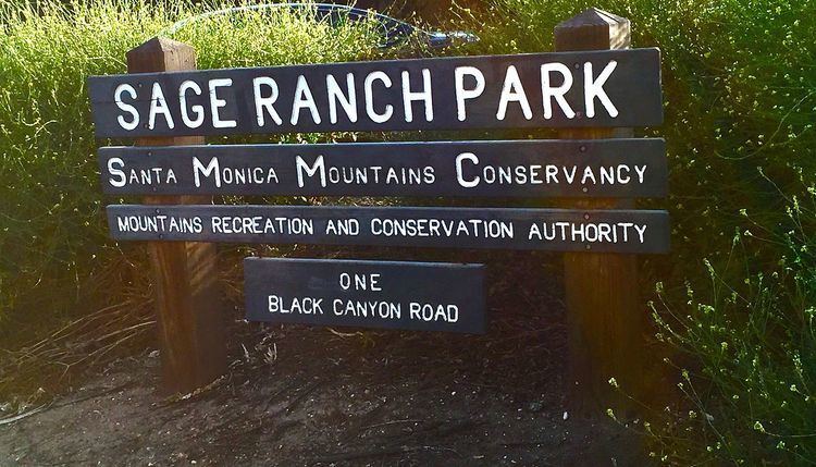
It is an area for a wide variety of recreational activities such as running, mountain biking, hiking, wildlife viewing, photographing, rock climbing, and is also open for camping. Because of its high elevation, you can see as far as the Channel Islands, the Santa Monica Mountains, the Pacific Ocean, and the San Gabriel Mountains on clear days. To get here from Woodland Hills, Los Angeles, follow the Ventura Freeway (U.S. 101) in Woodland Hills, exit on Valley Circle Boulevard and drive north six miles to Woolsey Canyon Road. Turn left (west) and proceed 2.7 miles to Sage Ranch Park. The park entrance is on the left, a short distance past the Rockwell International Santa Susana Field Laboratory, where Woolsey Canyon Road bends north and continues as Black Canyon Road. From Chatsworth, Los Angeles, take the U.S. 101 to the Topanga Canyon Boulevard, south to Plummer, and then turn right. Follow Plummer to the intersection with Box Canyon and turn left into Valley Circle and then turn right at Woolsey Canyon Road. The entrance to Sage Ranch Park is 200 yards north of the intersection between Woolsey Canyon and Black Canyon Road. From Simi Valley, take Kuehner south and turn right at Katherine Road in eastern Simi Valley. Follow Katherine and turn right after crossing the railroad tracks. At Black Canyon Road, turn left and follow the uphill winding road up to Sage Ranch Park. It is situated in the most eastern part of Ventura County and the Simi Valley city limits. The address is 1 Black Canyon Rd, Simi Valley, CA 93065.