
Elevation 15 m (49 ft) Area 27.93 km² Local time Tuesday 2:58 AM | Municipal assoc. Nord-Rügen Time zone CET/CEST (UTC+1/+2) Population 2,624 (31 Dec 2008) Postal code 18551 | |
 | ||
Weather 6°C, Wind W at 13 km/h, 92% Humidity | ||
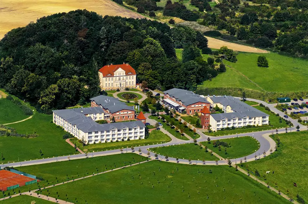
Sagard is a municipality in the Vorpommern-Rügen district, in Mecklenburg-Vorpommern, Germany.
Contents
Map of Sagard, Germany
History
Sagard is first mentioned in 1250 as Zagard. The name of the municipality of Sagard comes from the Slavic and means something like stockade or fortified settlement. This points to a Slavic burgwall from the 12th Century that was formerly sited here, but has since been levelled.
Around 1750, there were the beginnings of a health resort. In 1795, the pastor, Heinrich Christoph von Willich, and his brother, the country doctor, Dr. Moritz von Willich, opened a Spring, Bathing and Leisure Institute. The bathing facility lasted until about 1830. Today the Historic Brunnenaue Park (Historische Parkanlage Brunnenaue) recalls the former idyllic spa park with its promenades, fountains and bath houses.