
District Mayen-Koblenz Time zone CET/CEST (UTC+1/+2) Area 6.96 km² Population 2,135 (31 Dec 2008) Dialling code 02625 | Elevation 130 m (430 ft) Postal codes 56648 Local time Tuesday 1:28 AM Postal code 56648 Municipal assoc. Pellenz | |
 | ||
Weather 4°C, Wind S at 3 km/h, 77% Humidity | ||
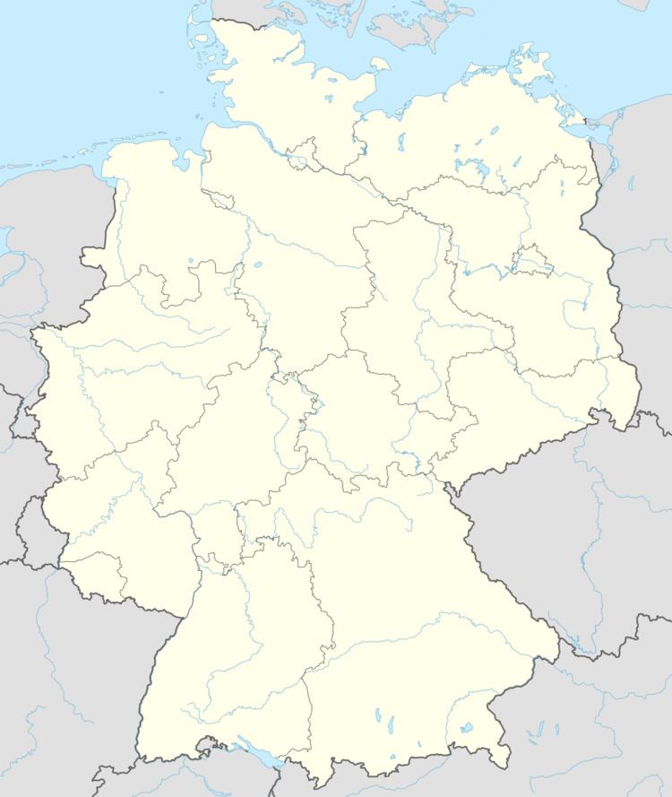
Saffig is a municipality in the district of Mayen-Koblenz in Rhineland-Palatinate, western Germany.
Contents
Map of Saffig, Germany
The emblem
The organ pipes and the ear show St. Cäcilia, the patron saint of the Catholic church of Saffig. The lava dome shows the territory of vulcanos, where Saffig is.
History
The village was first referenced in 1258 as "Saffge". Saffig was a fiefdom of Cologne until 1481, when it became a fiefdom of the family von der Leyen. After the annexation of sinistral territory of the Rhine during the French Revolutionary Wars (1794–1815), Saffig was a "Mairie" of France. Saffig has been part of the Pellenz "Verbandsgemeinde" since 1992.
Buildings and sights
References
Saffig Wikipedia(Text) CC BY-SA