
Elevation 249 m Population 7,600 (2001) | Time zone EAT (UTC3) Local time Monday 11:41 PM | |
 | ||
Weather 23°C, Wind SW at 2 km/h, 95% Humidity | ||
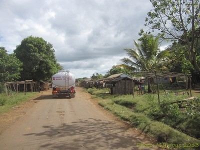
Sadjoavato is a town and commune (Malagasy: kaominina) in Madagascar. It belongs to the district of Antsiranana II, which is a part of Diana Region and is situated between Antsiranana and Ambilombe on the Route Nationale 6 at a distance of approx. 51 km from Antsiranana
Contents
Map of Sadjoavato, Madagascar
According to 2001 commune census the population of Sadjoavato was 7,600.
Only primary schooling is available in town. The town provides access to hospital services to its citizens. The majority 98% of the population are farmers, while an additional 1.5% receives their livelihood from raising livestock. The most important crop is maize, while other important products are cassava and rice. Services provide employment for 0.5% of the population.
Visitor attractions
The Tsingy Rouge are situated near this town.