
- elevation 272 m (892 ft) Length 380 km Mouth Severn River | - elevation 75 m (246 ft) Discharge 144.2 m³/s | |
 | ||
- left Beaver Stone River, Thorne River, Sherman River - average 144.25 m/s (5,094 cu ft/s) - max 191.53 m/s (6,764 cu ft/s) | ||
Sachigo river again
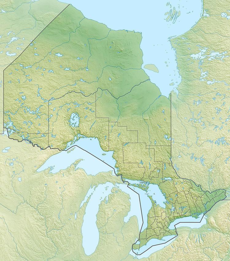
The Sachigo River is a river in the Hudson Bay drainage basin in Kenora District in Northwestern Ontario, Canada. It is a tributary of the Severn River.
Contents
Sachigo river
CourseEdit
The Sachigo River begins at Broadside Lake and flows northeast through Pasateko Lake, past the Sachigo Hills, to Sachigo Lake, the location of the Sachigo Lake First Nation and the Sachigo Lake Airport, and where it takes in the right tributary Morrison River. It then heads north, past the Wetiko Hills, to Little Sachigo Lake, exits the lake east and heads once again northeast. The river divides into two branches, takes in the Sherman River on the left branch, then recombines. It continues northeast to reach its mouth at the Severn River, which flows to Hudson Bay.
TributariesEdit
References
Sachigo River Wikipedia(Text) CC BY-SA